 |
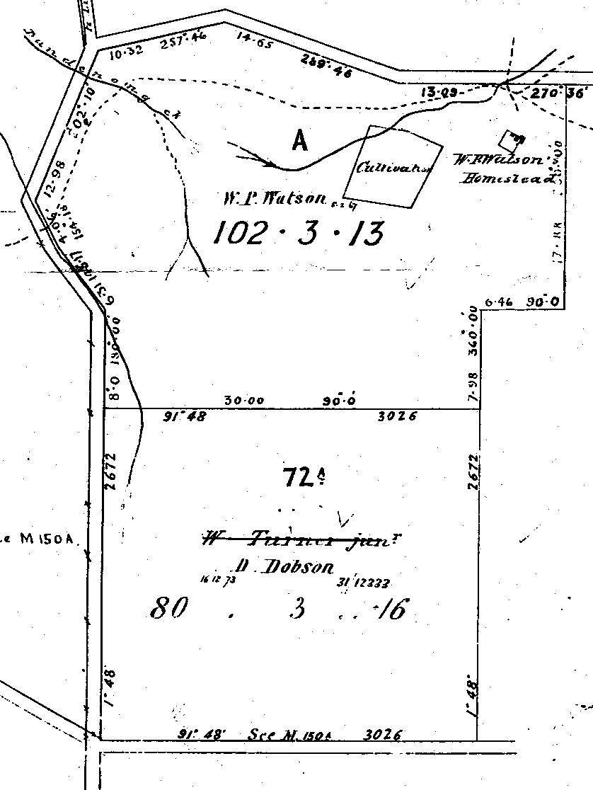
1866 map showing
allotments A and 72A in The Basin. The Basin
roundabout is located at the bottom left. Pavitt
Lane is at the top. The road running up the LH
side was never proclaimed except at the top where
it is now Liverpool Road. On the RH side is now
Sheffield Road. Note homestead & cultivation
at top RH corner. William Peverill Watson was granted title to Crown Allotment A in 1867 and this was the first freehold land in The Basin. William Turner Jnr. held a lease to Allotment 72A in 1867 but had his licence cancelled for being involved in “illicit distillation”. William Hall Watson held a lease in 1870 and David Dobson was granted title in 1872. Click to Expand Map Map copyright Titles Office. |
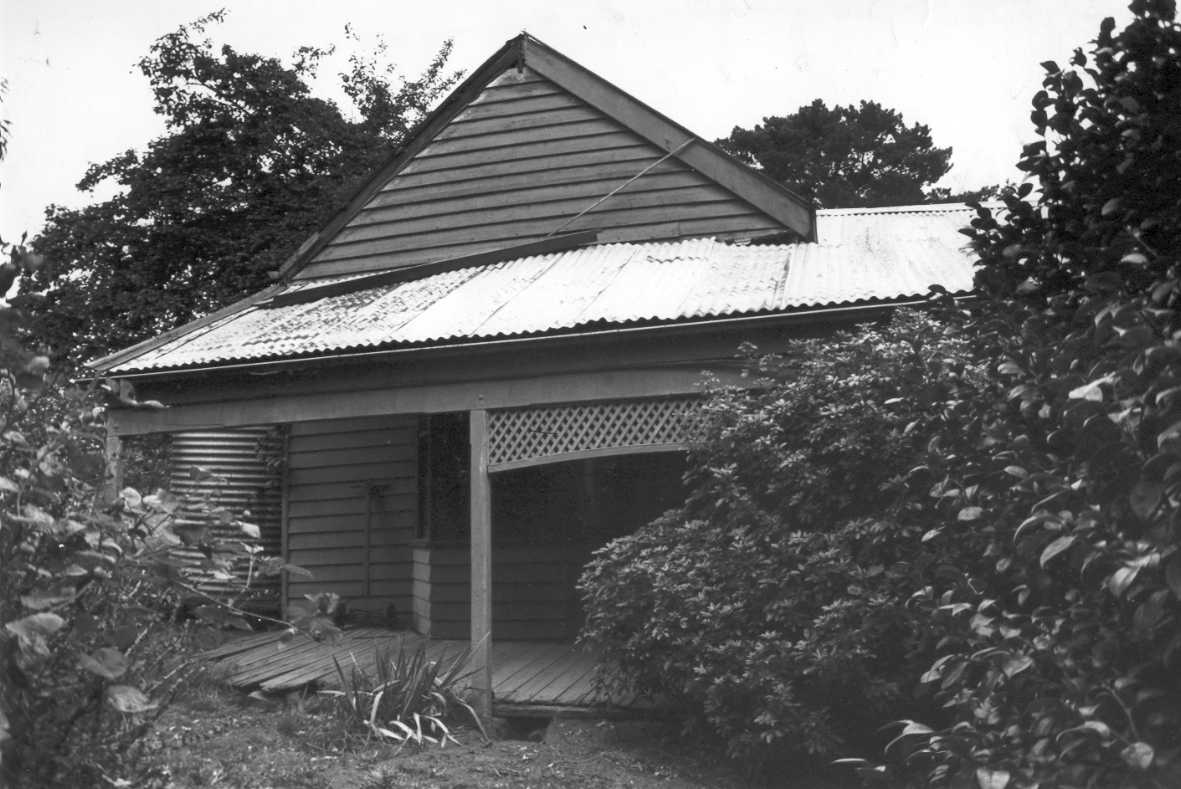
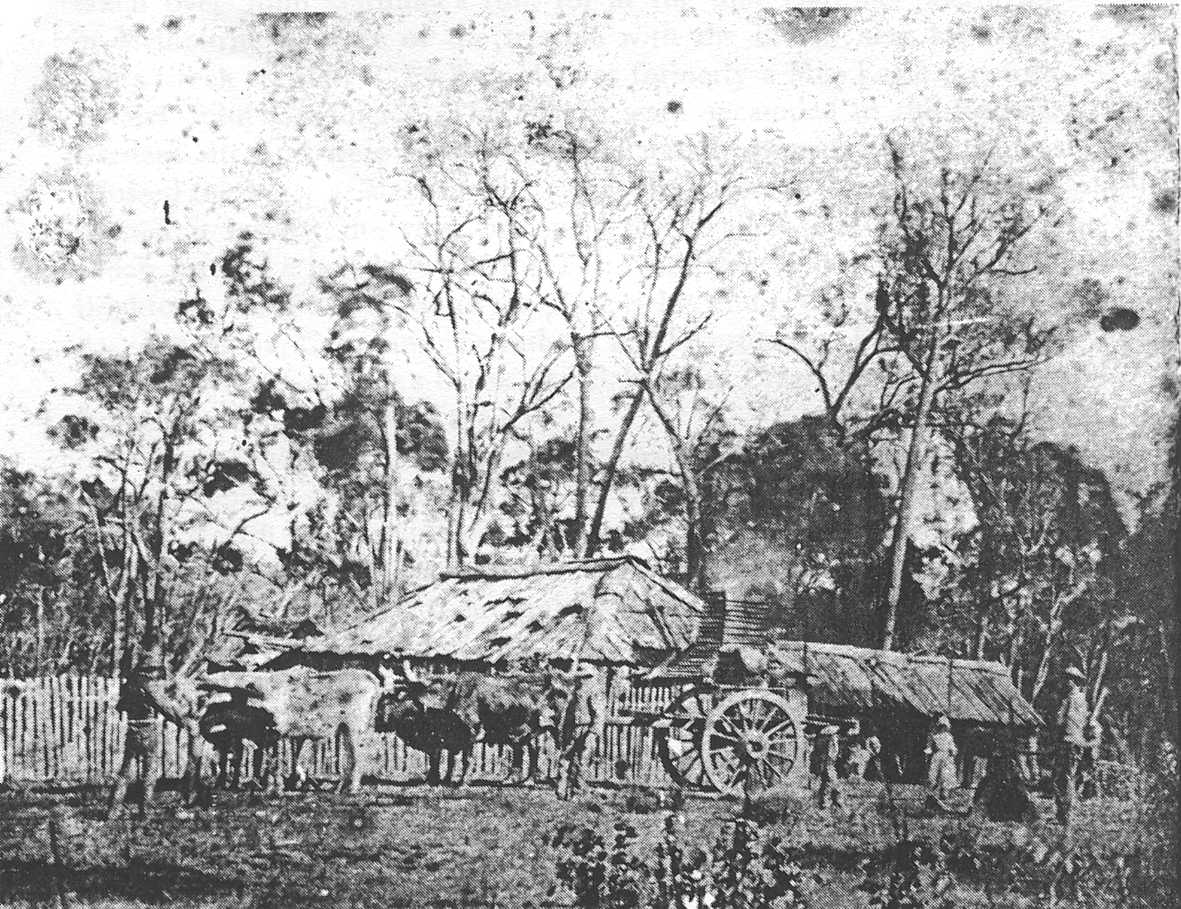
This site may also have
been the location of the first house in The Basin built
by William Turner in 1851.
See also Places of Interest No. 4.
In 2002, land owned by the Salvation Army.
In 2002, original house no longer exists and is residential property.
|
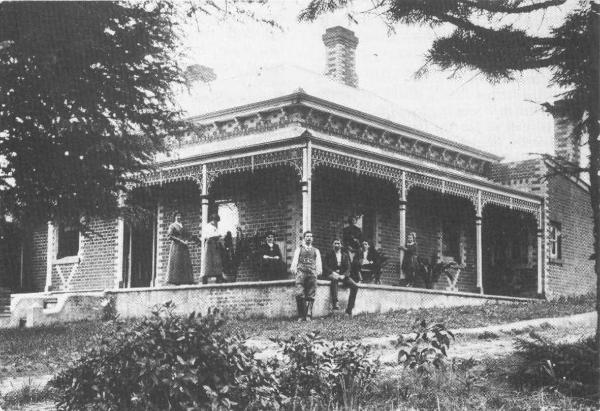
Bayswater
House |
 |
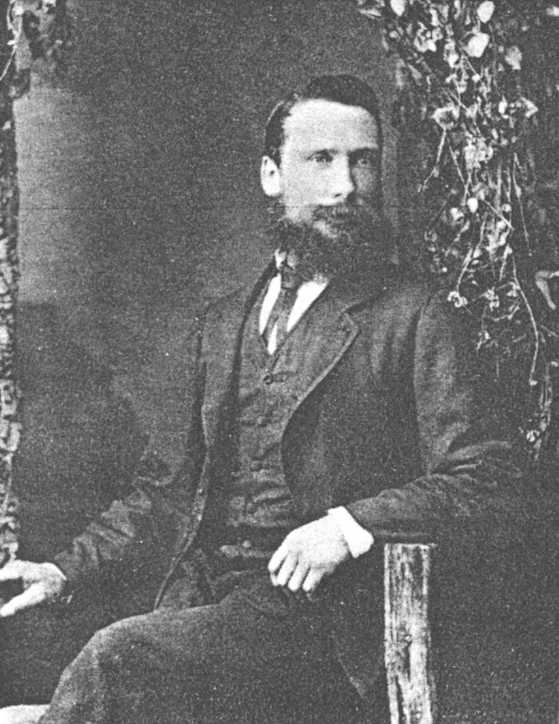
John
James Miller |
In 2002, part of Salvation Army land.
|
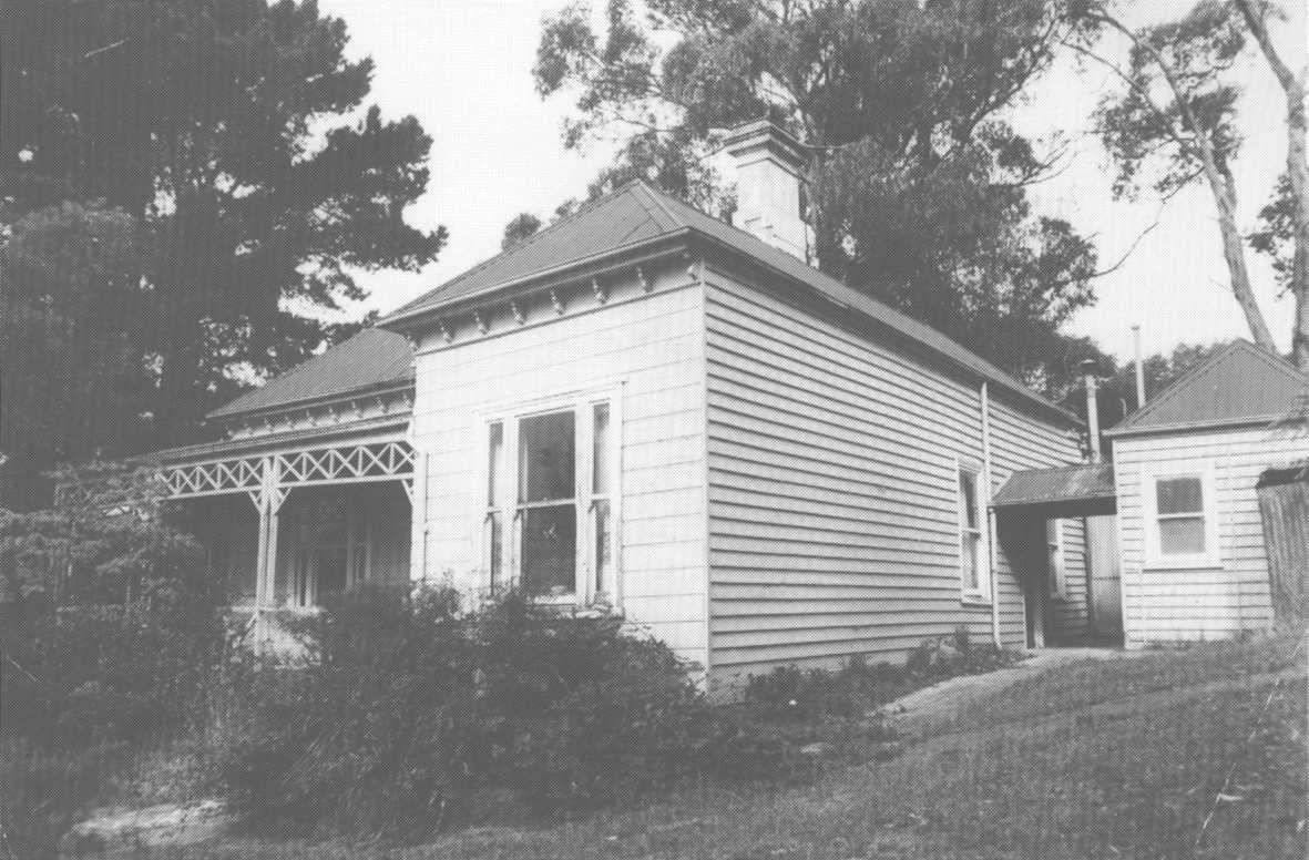
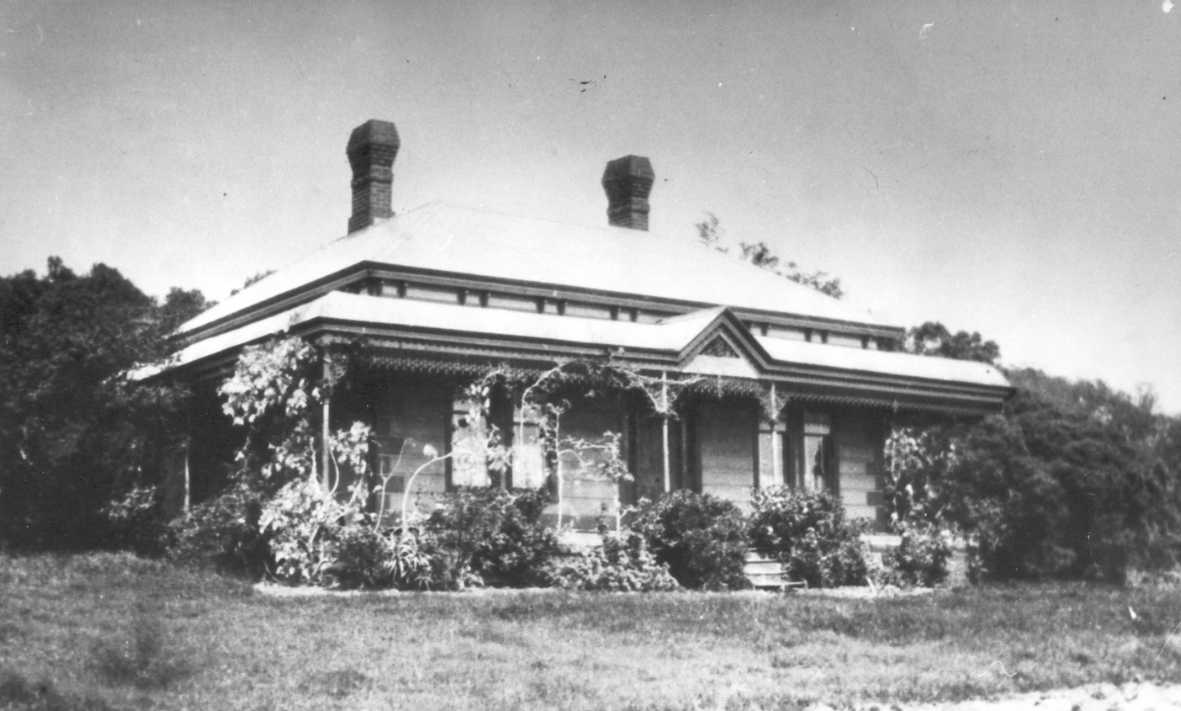
William
Turner's House. |
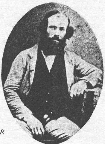 |
William
Turner Circa 1870 (Click to Expand) |
In 2002, residential property
|
Como
House. |
 |
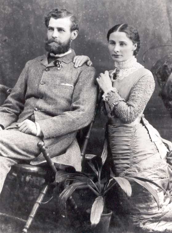
William
Chandler. |
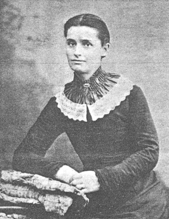 |
Kate
Chandler. |
In 2002, the site is partly private land and partly National Park.
|
Ferndale |
 |
James
& Emily Griffiths |
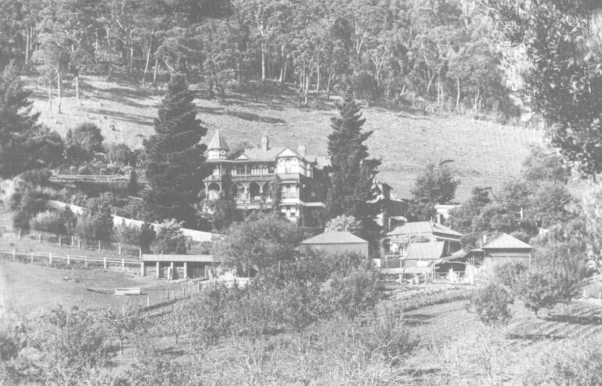
In 1892, a mansion called Invermay was erected here by Sir Matthew Davies.
In 1898, the house was renamed Doongalla when purchased by a Miss Simson.
Doongalla was destroyed by a bushfire in 1932.
In 2002, site is part of Dandenong Ranges National Park.
|
Doongalla |
In 2002, the Colchester Estate.
In 2002, residential land.
|
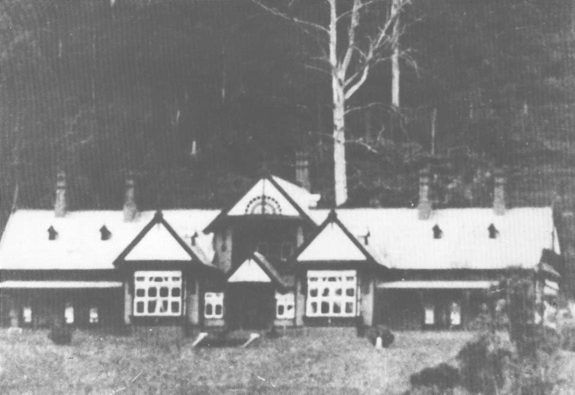
Wicks
Homestead. |
Destroyed by fire in 1972. In 2002, part of Clevedon Camp.
|
Clevedon
House |